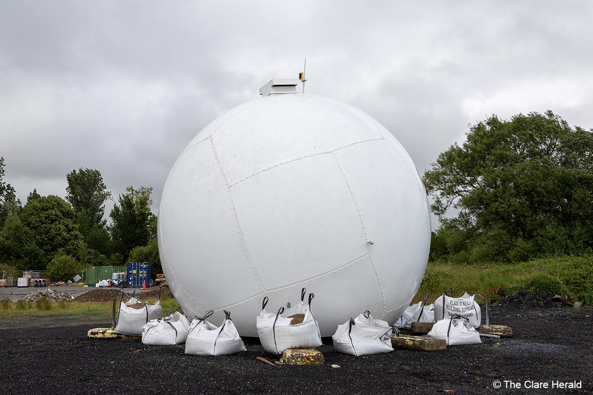
Met Éireann, the Irish National Meteorological Service, has announced that its new weather radar system at Shannon Airport is now operational and will provide more accurate rainfall information to the weather forecasters and the rainfall radar maps on met.ie and the Met Éireann app.
This new weather radar is the first step in Met Éireann’s strategic development plan to upgrade and expand the national weather radar network over the next ten years. During this period, the number of radars will triple, from two to six, covering key areas across the country to ensure optimal coverage and forecasting accuracy.
The new weather radar system in Shannon uses the latest dual-polarisation technology which will enable meteorologists to better distinguish between different types of precipitation such as rain, hail or snow. This technology also enables better identification and removal of non-meteorological targets such as birds and insects from the data. As a result, Met Éireann will be able to issue more precise and timely weather forecasts and warnings for significant weather events, for the benefit of the public, emergency services and the aviation, maritime, farming and other sectors.
Dr. Sarah Gallagher, Head of the Observations Division at Met Éireann, said: “Met Éireann is delighted to have successfully completed this important first step in the upgrade of this critical source of weather information. The weather radar at Shannon Airport is vitally important as most of Ireland’s weather comes from the Atlantic, so Shannon is a fantastic location for the first detection and analysis of these rainfall events. This radar will increase the accuracy of our forecasts and of the rainfall radar service for the benefit of all. Our team is already analysing the radar’s new data with a view to further enhancing our service with new features next year.
“This state-of-art upgrade was complex and involved significant background work examining the hardware, technologies to be used, civil works at an airport infrastructure and adapting our systems to accommodate this new information and data.”
“This is the first step of a longer-term scientific project to expand the national weather radar network beyond Shannon and Dublin and we’re excited to continue innovating and investing in science as part of our commitment to public safety and wellbeing. We’re already researching sites for four additional radars to optimise rainfall detection and coverage capabilities across the country.”
Met Éireann operates and maintains the national weather radar network, which is currently comprised of two weather radars, one located at Shannon Airport and one located at Dublin Airport. This weather radar network is the State’s primary observational tool for rainfall over wide geographical areas of Ireland.
Weather radars provide a steady stream of near real-time information on a continuous basis. They are used to provide information on the location of precipitation within a radius of circa 240 km and to provide data on precipitation amounts and intensities.
Met Éireann makes its radar imagery freely accessible to the public through its website (Weather Maps – Met Éireann – The Irish Meteorological Service) and app. Data from the weather radar network is integral to the provision of services like weather and aviation forecasting, weather warnings, flood alerts and nowcasting (very short-range weather forecasts). Weather radar services are critical to the protection of life and property, particularly during extreme weather events, and they support societal and economic wellbeing. In addition, radar data in HDF5 format is available free of charge via the Irish Government open data portal https://data.gov.ie/dataset/rainfall-radar.
Dual-polarisation weather radars transmit and receive a set of radio waves, oriented 90 degrees to each other, one in in the horizontal direction and the other in the vertical direction. Polarisation of the wave is the direction, or orientation, of the electric field.
Dual polarisation radar systems compare the power and timing of energy returned to the radar from both horizontal and vertical pulses and show what type of precipitation is falling based on its size and shape.
