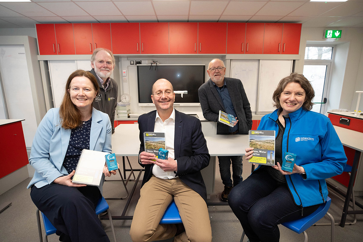
Mary Immaculate Secondary School in Lisdoonvarna has been presented with its very own seismograph, which will enable students to record seismic activity from around the world in real time.
Funded by Research Ireland, the seismograph is being provided by the QuakeShake project, a division of the Department of the Environment, Climate and Communications and a joint initiative of the Dublin Institute for Advanced Studies (DIAS) and Geological Survey Ireland (GSI) aimed at engaging the public in studying earthquakes and seismic activity.
The presentation was made during a visit to Mary Immaculate by GSI Director Koen Verbruggen to mark the North Clare’s track record of success in the BT Young Scientist & Technology Exhibition (BTYSTE).
Mary Immaculate students have won the GSI category of the annual exhibition during three of the last five years, including most recently in January 2025.
Dr. Eamon Doyle, Geologist with the Burren and Cliffs of Moher UNESCO Geopark was also in attendance to speak about ‘Stone, Water and Ice, A geology trip through the Burren’ a publication that takes readers through the evolution of the Burren from the start of its formation over 300 million years ago.
Mr. Verbruggen presented GSI certificates to 2021 BT Young Scientist winner Oisín Jackson for his project entitled “An investigation into the differences in height of adjoining clints and seeing if prevailing wind may contribute to their formation”, 2022 winner Anna-Mae O’Driscoll for her project “Does the Limestone in the Burren Keep it as Warm as People Say?”, and 2025 winner Béibhinn O’Loughlin who had a project where she was “Looking for tiny fossils hidden in the Burren limestone.”
All three award-winning students will be speaking about their projects at the upcoming Geopark Academy at the Burren College of Art in Ballyvaughan on 24 May.
Mona Hynes, Principal of Mary Immaculate Secondary School and John Sims, who has been a BT Young Scientist mentor for the past 36 years, were also presented with a GSI certificate marking the school’s success in the competition.
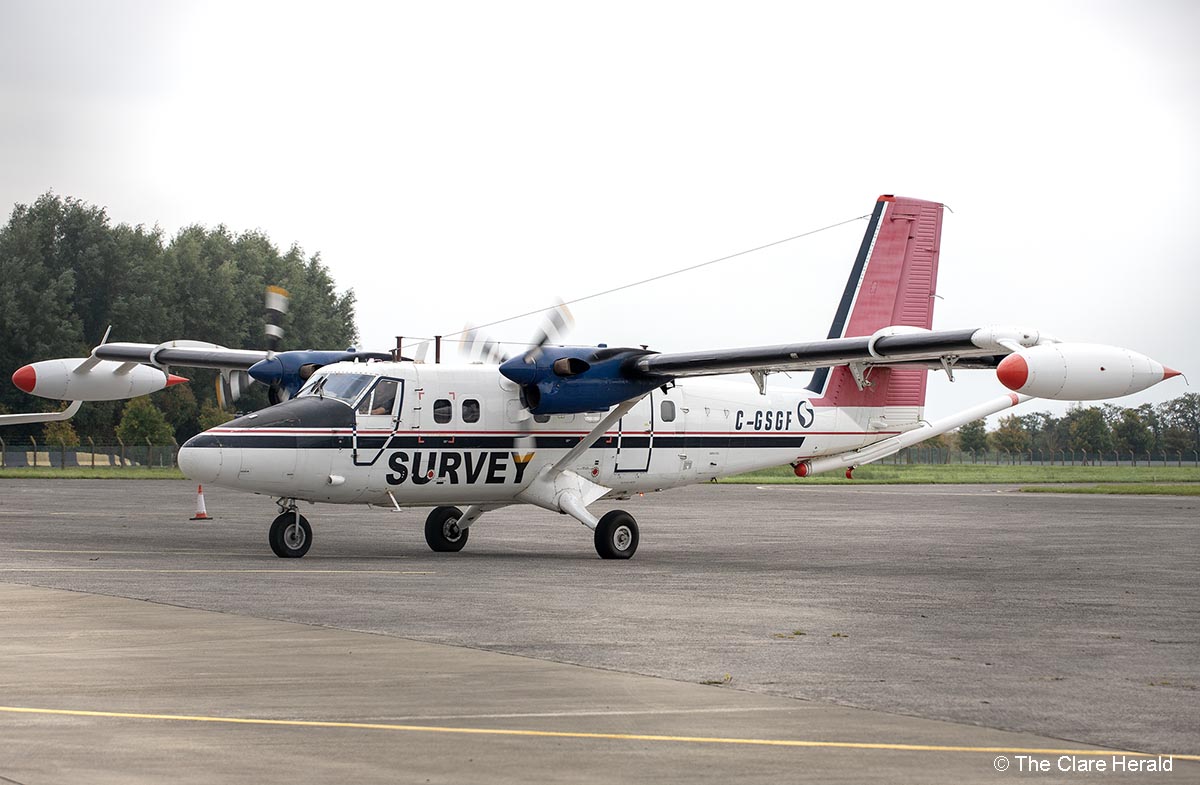
Meanwhile, Mr. Verbruggen spoke to students about the pursuing a career in geological science. He also outlined details of the Tellus survey, a national mapping programme managed by GSI, which is collecting geochemical and geophysical data on rocks, soil, and water across Ireland.
The final phases of the national airborne survey are currently being undertaken over counties Kerry and Clare this year. The geophysical instruments on board two twin-propeller planes flying at low altitude include a magnetometer, which measures the variations in the Earth’s magnetic field, and a gamma ray detector which measures the natural radioactivity of shallow soil and rocks.
The survey plane is currently based at Shannon Airport under permit as approved by the Irish Aviation Authority.