Clare County Council’s Emergency Number for storm related damage is (087) 259 9568.
Live Updates…
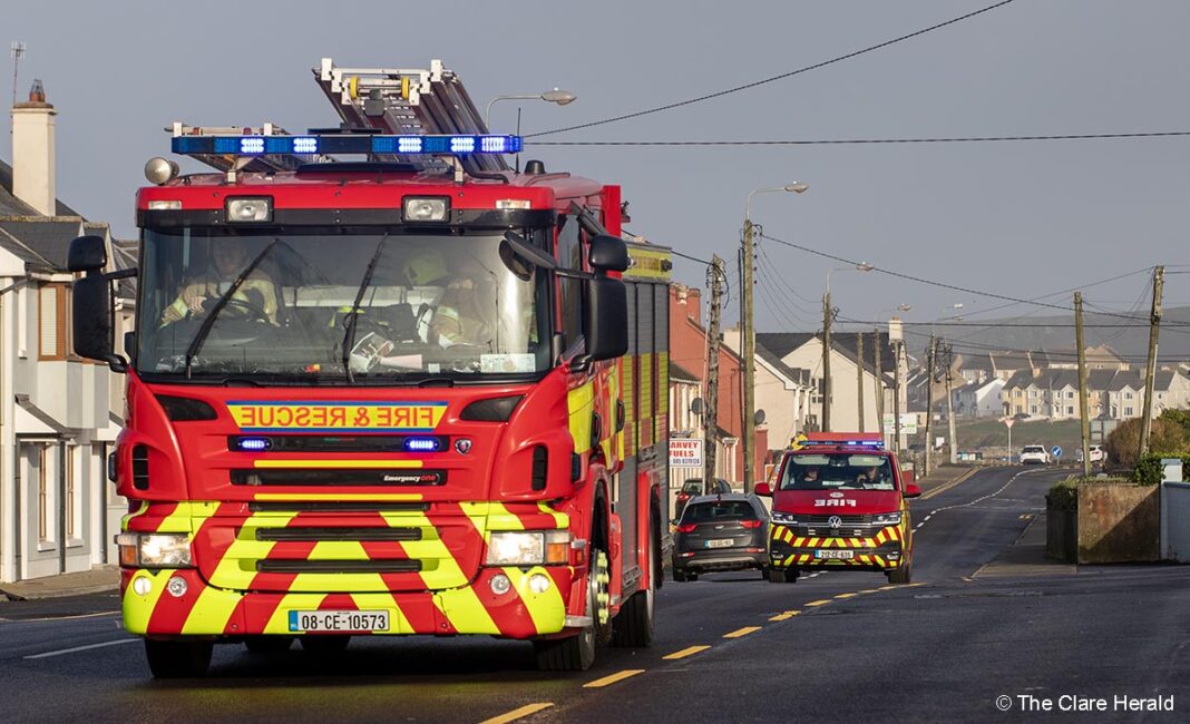
Saturday, 11.40am – Fire crews from Kilkee station are dealing with downed cables on the R487 in the vicinity of Cross and Bellia.
Saturday, 8.43am – *The Aer Lingus EI380 from Shannon to London has been cancelled. The return leg, the EI381, will not operate as a result.
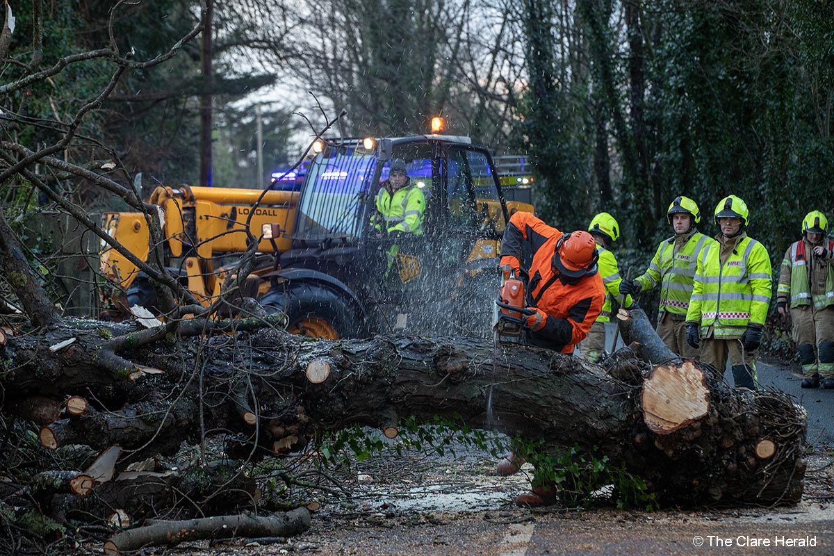
*There’s a tree down on the Bog Road between the Doora Road and the N85 Western Relief Road. *This incident has now been cleared.
*Trees blocking road at the bridge beside Ballyea school and Cragbrien on road to Drumquin
*There is a tree blocking the road between Brennan’s Cross and the church in Meelick.
*The road from Kilfenora to Ennistymon there is some fallen branches and derbies on the road but passable.
*A large section of a barn roof is blocking the road between Doonaha and Querrin west Clare.
*Golf Links road in Ennis is impassable. A number of large trees are blocking the route. Ennis Fire Service is working on clearing the trees but this could take some time yet. *This route has now reopened.
*Two tress down between Ballynacally Village & Carrig’s Shop Drumquin.
*Part of a tree blocking left side of road R473 at Lisheen.
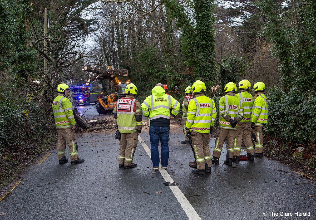
Saturday, 6.05am – Fire crews from Clare have been dealing with incidents across the county since late last night.
The incidents were involved clearing fallen trees from roadways. Please drive with care this morning.
A number of areas of the country remain without power this morning.
Report any faults to ESB Networks and see PowerCheck for updates.
Remember, the Status Orange Wind Warning remains in effect until 10.00am today.
Friday, 10.15pm – This evening’s Ryanair flight (FR1347) from Tenerife-South to Shannon has diverted to Dublin because of high winds which have been gusting to almost 120 kmh in the past hour.
*Management at Shannon Airport are advising travellers to check their flight status with their airline before making their way to the airport during this period.
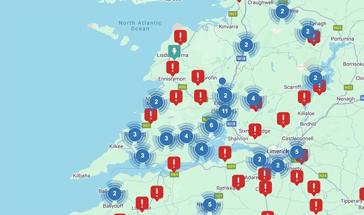
Friday, 10.00pm – Power outages have been reported in several areas in West Clare.
Over 200 customers were without power at 10.00pm in the Kilkee and Doonbeg areas while a further 58 people are affected in the Drumquin area of South Clare. Around 200 more are without electricity in Clarecastle.
1300 customers lost their power in the Barefield area at 10.11pm. Powercheck says their power won’t be restored until 5.00pm in Saturday.
Report any faults to ESB Networks and see PowerCheck for updates.
Further outages are expected across the county overnight.
Remember, fallen Electricity Wires are live and dangerous. Never approach or touch them. Call our emergency service immediately on 1800 372 999 (+353 21 2382410), 999 or 112.
Friday, 1.48pm – The Status Red Wind Warning issued for Clare for tonight has been further amended.
The original warning was due to take effect at 10.00pm (Friday) and remain in place until 9.00am. This was later amended to begin at 1.00am on Saturday and end at 6.00am.
The latest update from Met Éireann now states that the Status Red warning will commence at 9.00pm Saturday and remain in effect until 2.00am (Saturday). A Status Orange warning will however remain will continue until 10.00am (Saturday).
Transport/Travel
Management at Shannon Airport are advising travellers to check their flight status with their airline before making their way to the airport during this period.
A spokesperson for Bus Éireann has said: “Following an assessment of the available information from Met Éireann and the likely impact of the Storm a large number of services across Expressway intercity, commuter and city services, scheduled to operate between these times, have been cancelled.”
Bus Éireann advises all intending passengers to check the ‘Service Updates’ section of our website before travelling. Bus Éireann will continue to monitor weather advisories (issued by Met Éireann www.met.ie) as well as road conditions in the coming days and any service disruptions will be posted on our website.
The safety of our passengers and staff is of paramount importance to Bus Éireann and we would encourage all customers to plan their journeys in advance, allowing extra time for their journey, during this period of adverse weather.
Bus Éireann apologises to customers for any inconvenience caused.”
Communications
Vodafone is assuring customers that its mobile phone and fixed broadband networks are well-prepared for Storm Darragh.
“Extensive measures are in place to ensure Vodafone network stability and to minimise any potential impact on customers in storm-affected areas. Faults that may occur are generally due to power outages,” said Sheila Kavanagh, Vodafone’s Networks Director.
“Vodafone has battery backups at most large mobile network sites and we have today mobilised power generators that can be deployed where necessary.”
To help customers stay connected during the storm, Vodafone recommends the following:
Ensure all phones and devices are fully charged before the storm arrives.
Have a fully charged power bank ready.
Select low battery mode on phones and avoid video calls, gaming, or streaming during power outages.
While the torch on your phone is useful, it’s better to have a battery-operated torch available to preserve your device’s power.
Ensure you have updated numbers to check on neighbours who might be vulnerable.
Electricity/Gas
Gas Networks Ireland would like to reassure its 720,000 customers that it does not anticipate any disruption to gas supplies during Storm Darragh.
Ireland’s gas network is one of the safest and most modern gas networks in the world and with the added security of its 14,664km of pipeline being underground it is unlikely to be impacted by adverse weather conditions. All works are currently scheduled to take place as normal, however as the safety of our staff, customers and the public is paramount, our teams will assess conditions locally and may defer some work if required for safety reasons.
Irrespective of what weather alert is in place, Gas Networks Ireland emergency services continue to operate as normal. If you smell gas at home or on the street, please call 1800 20 50 50 immediately.
In the event of a power cut as a result of the storm, Gas Networks Ireland is providing the following safety advice:
- Gas appliances may be affected during a power cut
During a power cut, gas supplies and your gas meter should continue to operate as normal. Gas appliances, however, may be affected. Although they operate by burning gas, most gas appliances rely on mains electricity for items such as pumps, fans, electronic controls and so on, so in the event of a power outage they may not operate until the power is restored.
When the power is restored, gas appliances should operate as normal, but some boilers may need to be reset. This is normally something that can be done by the customer themselves at the boiler control panel and some boilers have the resetting instructions visible on the boiler.
If the boiler or other appliances are not working after power has been restored and cannot be reset, please contact a Registered Gas Installer – you’ll find one on https://rgi.ie/.
- Avoid the risk of carbon monoxide poisoning
Never run generators or other petrol or diesel equipment indoors, under cover or close to access points in the property such as doors, windows or ventilation points. Never use barbeques, patio heaters or other outdoor fuel burning equipment indoors or under cover. If your power is off, it might be tempting to find alternative means of cooking and heating, but these appliances can produce large amounts of carbon monoxide and should only ever be used outdoors in a well-ventilated area.
Never use an indoor cooking appliance to try and heat a room. If you’re lighting a fire in the grate, make sure your chimney has been swept and isn’t blocked and ensure the room is properly ventilated.
If you have questions, please visit www.gasnetworks.ie or contact us by email at networksinfo@gasnetworks.ie or call 1800 464 464 Monday to Friday from 8.00am to 8.00pm or Saturday from 9.00am to 5.30pm. Further information is available at: www.gasnetworks.ie/power-cut/
Friday, 10.05am – Met Éireann has amended its previous Status Orange Wind Warning for Clare and upgraded it to Status Red for several hours overnight as Storm Darragh nears Ireland.
The Status Orange alert issued for Clare on Thursday and which was due to come into effect tonight (Friday) will remain place but has been amended.
The Orange alert was due to begin at 10.00pm (Friday) and end at 9.00am on Saturday will now begin at 8.00pm (Friday) and finish at 10.00am (Saturday).
The Red warning will take effect from 10.00pm (Friday) and remain valid until 2.00am (Saturday).
Met Éireann says we can expected ‘extremely strong and gusty northwest winds.’
The possible impacts of the high winds include
• Fallen trees
• Damage to power lines
• Dangerous travelling conditions
• Structural damage to temporary structures
• Wave overtopping
Thursday: Met Éireann has issued two weather warnings for Co Clare which will quickly follow the windy conditions that we experienced during Thursday.
A Status Orange Wind Warning has been published for Clare, Kerry, Galway, Mayo, Sligo, Leitrim and Donegal also associated with Storm Darragh.
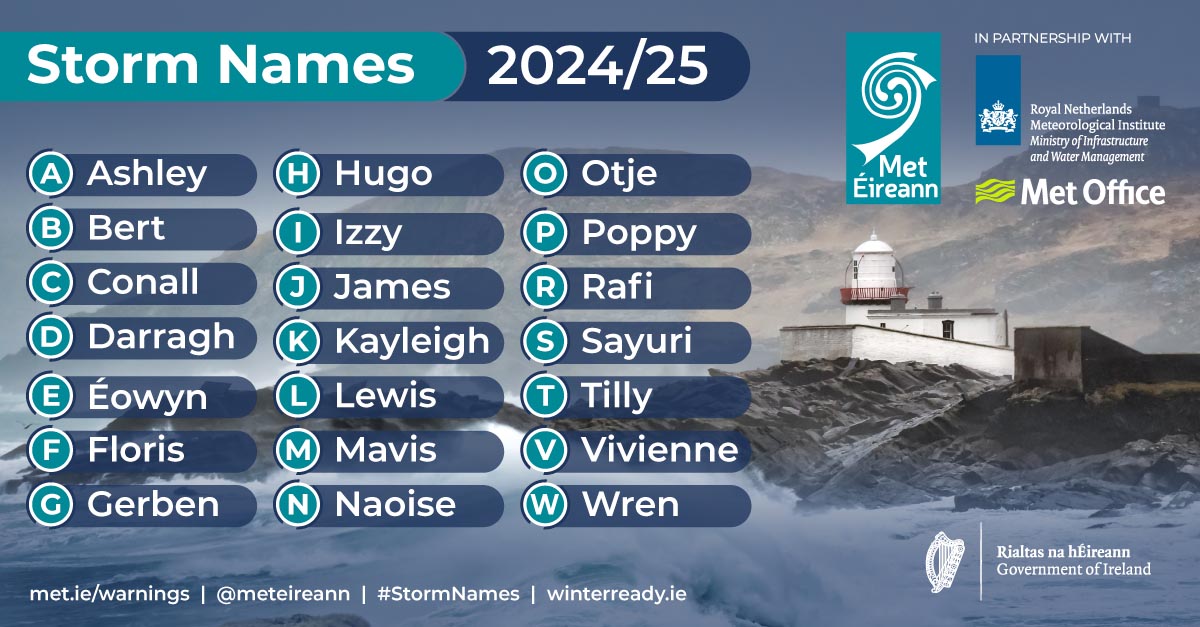
Having avoided Storm Conall which safely missed Ireland, Met Éireann says that Storm Darragh will bring heavy rain and strong winds on Friday followed by heavy showers Saturday morning.
Forecasters are warning of very strong and gusty northwest winds between 10.00pm on Friday and 9.00am on Saturday.
The possible impacts of the strong winds include fallen trees; damage to power lines; very difficult travelling conditions and potential damage to temporary structures.
Meanwhile, a Status Yellow Rain Warning will come into effect at 10.00am on Friday and remain in place until 10.00am on Saturday.
The affected counties include Clare, all of Connacht, Donegal, Cavan, Monaghan, Longford, Louth, Meath and Westmeath.
The potential impacts include localised flooding, poor visibility and difficult travelling conditions.
Keith Leonard, National Director of the National Directorate for Fire and Emergency Management, advised the public: “Most of the country will be impacted by strong winds and everyone should take extra care. In particular, this storm may bring dangerous travelling conditions. Strong winds can make driving conditions hazardous, especially for more vulnerable road users such as cyclists, pedestrians, motorcyclists and high-sided vehicles, and road users should pay particular attention to the risk posed by fallen trees and flying debris. There is also potential for localised flooding in some areas, so it’s important to remember to never drive through flooded roads, as the depth of the water can be deceiving.
I would also urge the public to stay away from coastal areas during this period and to heed the appeal from the Irish Coast Guard for people to ‘Stay Back, Stay High, Stay Dry’.”
ESB Networks is highlighting the dangers posed by fallen live wires and is advising the public and the emergency services to stay away from these fallen cables and to report such cases to it immediately. ESB Emergency Services can be contacted at 1800 372 999. The public can monitor www.PowerCheck.ie regarding power restoration times.
People are advised to ensure their mobile phone is fully charged to enable communication and also to monitor Met Éireann forecasts and / or visit www.met.ie/ for the most up to date information. Information is available across social media platforms and other news media sources.
National Outlook into next week
Extremely windy or stormy for a time on Friday night with heavy rain, possibly wintry in some northern areas, giving way to clear spells and occasional showers, some of hail or sleet. Turning colder with winds becoming fresh to strong and gusty northwest winds later in the night. Lowest temperatures of 0 to 3 degrees with some frost and ice likely.
It looks set to be cold and windy on Saturday with sunny spells and blustery showers, some of hail and sleet and with some snow showers likely over higher ground. The showers will be most widespread across the north and west, but will make their way across the country too in fresh to strong and gusty northwest winds. There’s a chance of some thunder too, mainly near the north and west coast. Highest temperatures of just 4 to 8 degrees and feeling even colder due to the added wind chill factor.
Cold and breezy on Saturday night with clear spells and further showers, some wintry, with the showers mainly in the north and parts of the west, but becoming more isolated overnight. Lowest temperatures of 1 to 5 degrees, with the chance of some frost and ice in sheltered parts.
Cold, bright and breezy on Sunday with sunshine and just a few isolated showers, mainly in northern parts early in the day. Highest temperatures of 6 to 9 degrees in moderate to fresh and occasionally gusty north to northwest winds, stronger in coastal parts of the north and west.
The winds will ease on Sunday night, becoming light to moderate northerly, and it will be dry with clear spells. Lowest temperatures -2 to +2 degrees with some frost and ice.
Monday will be cold but with high pressure in charge, it’ll be dry and bright with plenty of sunshine. Highest temperatures of just 4 to 8 degrees in light to moderate northerly winds.
Monday night will be very cold and dry with clear spells. There’ll be a widespread sharp to severe frost and ice. Some fog or freezing fog will form too as it’ll be calm. Lowest temperatures of -3 to 2 degrees.
The frost and ice will clear on Tuesday morning, but the fog will be slow enough to clear and may linger in some parts through the day. There’ll be some sunshine though elsewhere. Highest temperatures of just 2 to 7 degrees, coldest where the fog lingers, in light variable breezes.
Tuesday night is likely to be another cold, dry, frosty and potentially foggy night.
