Updates
Monday, 9.10am – Met Éireann has issued another Status Yellow – Low Temperature/Ice warning for Clare, the third in recent days.
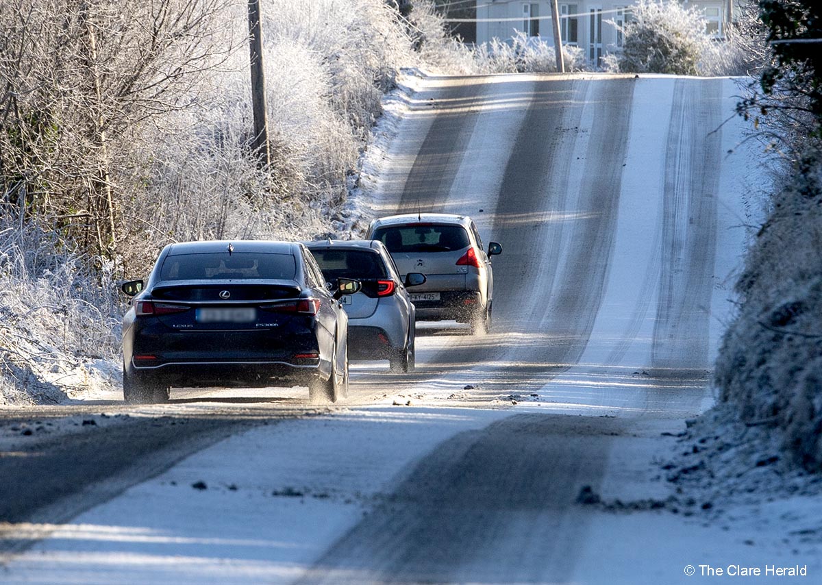
Forecasters are warning of temperatures falling to between -2 and -5 degrees generally leading to sharp or severe frost and icy stretches. Black ice could also be a risk to motorists.
The latest warning will come into effect at 11.00am today (Monday) and stay in place until 9.00am pm Tuesday.
Sunday, 9.05am – A second Status Yellow – Low Temperature/Ice warning for Clare as well as the rest of Munster and Leinster, Cavan, Monaghan, Galway, Roscommon.
This alert will take effect at 5.00pm pm on Sunday and remain in place until 11.00am on Monday.
Temperatures are expected to fall to between -1 and -3 degrees generally with the risk of sharp frost, icy stretches and black ice too.
Saturday – Met Éireann has issued a Low Temperature/Ice warning for Clare and much of the country this weekend.
The Status Yellow alert will be in place for Munster, Carlow, Dublin, Kildare, Kilkenny, Laois, Longford, Meath, Offaly, Westmeath, Wexford, Wicklow
Forecasters say temperatures are expected to fall to between -2 and -4 degrees in many areas while sharp or severe frost and icy stretches can be expected.
These are expected to lead to hazardous travel conditions.
Snow and ice warnings have also been issued for northern counties.
The warning will take effect at 6.00pm on Saturday and remain in place until 11.00am on Sunday.
Forecast
Saturday will be cold and mainly dry with sunny spells, although a few showers will affect western areas and may turn wintry. Highest temperatures of 2 to 6 degrees with light to moderate northwesterly winds.
Saturday Night will be very cold with frost and icy stretches. Most areas will be dry and clear but there’ll be a few wintry showers, particularly in western areas. Patches of fog or freezing fog may form too. Lowest temperatures of -3 to 0 degrees with light to moderate west to northwest or variable winds.
Sunday will be cold with frost, ice and fog or freezing fog patches slow to clear. There’ll be sunny spells and scattered wintry showers. Highest temperatures of 2 to 5 degrees with light to moderate westerly winds.