Live Updates:
Wednesday – 12.30am
*Flooding on the Lisdoonvarna to Ballyvaughan road.
*Flooding reported close to the Maid of Erin roundabout near Ennis Community College
*Surface water reported on Clon Road (several locations)
*Surface water reported on M18 (northbound) north of J15 Crusheen
Wednesday, November 1st
The forecast for the next 24 hours.
Cloudy, dull and wet this morning as scattered showers move over. Some of the showers will be heavy and squally for a time but they will clear away to the north later this morning followed by a mix of sunshine and isolated showers. Highs of 10 to 13 degrees in a fresh and gusty southwest wind.
Tonight
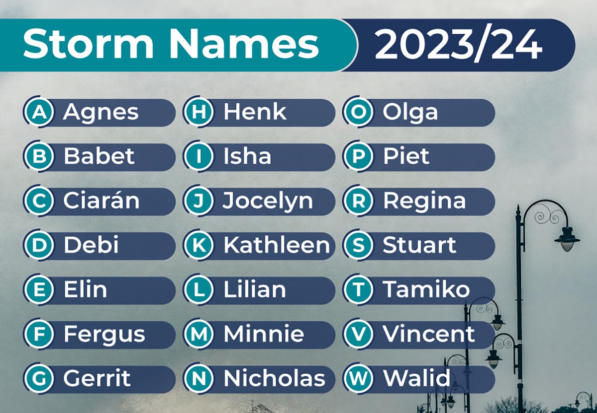
Cloud will build early this evening with rain developing ahead of Storm Ciaran. The storm will track eastwards close to the south coast of Ireland and bring a spell of heavy rain with strong and gusty northeast winds, gradually backing northwesterly overnight. Lowest temperatures of 3 to 5 degrees.
Tomorrow
Cloudy and rather blustery on Thursday morning with isolated showers slowly clearing. Drier weather will follow in from the northwest later in the morning with some hazy sunshine too. A few showers will push in later in the afternoon with highs of 9 to 12 degrees and fresh and gusty westerly winds.
Tuesday, October 31st
10.58am – A Status Yellow wind warning has now been issued for counties Clare, Kerry, and Galway.
Met Éireann is warning of strong and very gusty westerly winds, accompanied by squally showers.
The possible impacts include:
• Difficult travelling conditions
• Wave overtopping
The warning will take effect at 5.00am on Wednesday and remain in place until 11.00am Wednesday.
A Status Yellow rain warning is also in place for Kerry and could be extended.

Monday, October 30th – Met Éireann has issued a Weather Advisory ahead of the arrival of Storm Ciarán later this week.
While no weather warning has been issued year, Met Éireann’s Weather Warning Alerting Service has issue an ‘advisory’. It is possible that a Status Yellow rain warning at least could be issued in the coming days.
“On Monday, Tuesday and Wednesday, there will be heavy showers or longer spells of rain at times over Ireland with flooding likely in places, as soils are saturated and river levels are high,” according to forecasters.
“Later Wednesday and on Thursday, Storm Ciarán will bring falls of heavy rain and strong winds. Current indications suggest the heaviest rain and strongest winds will be in Munster and Leinster with flooding likely.”
The Irish Meteorological Service says other possible impacts include poor visibility and difficult/dangerous driving conditions.
The advisory, which came into effect earlier on Sunday afternoon, will remain in place until 11.30pm on Thursday (November 2nd).