Clare is set to experience its coldest period of weather of the winter to date as a bitterly cold airmass extends over Ireland from the east.
Mark Dunphy from iWeather Online gives The Clare Herald his assessment of what we can possibly expect here in Co Clare and whether we will see an event similar to those in 2010 and 2018.
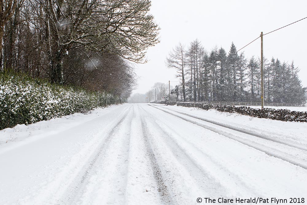
From Sunday evening through to Wednesday daytime temperatures across the county will be in low single figures with sharp or severe frosts and icy patches at night. There will be a frost in areas sheltered from the breeze tonight, but overnight temperatures will progressively dip as we head into next week with mercury levels dipping to as low as minus 5c in valleys and locations sheltered from the predominantly easterly breeze.
Met Éireann has a weather advisory in place for showers of sleet or snow in eastern counties from Sunday evening onwards. However, some of these will make it much further inland due to a strong easterly breeze and further convective activity over already saturated land. There is a heightened risk of more widespread snow for Clare on Thursday when an Atlantic system extending northeast over the county brushes up against cold air.
The outlook beyond Thursday is uncertain but we are likely to see a brief rise in temperatures for a few days before a possible return to colder weather again as high pressure over Scandinavia drags another colder pool of continental airmass over Ireland and Britain.
So, is the ‘Beast from the East’ on the way?
Since early January, headline writers across Ireland and the UK have made numerous mentions of the ‘Beast from the East’ and how it could be set to return to our shores for the first time since the epic snowfalls of February 2018.
These predictions came after the Sudden Stratospheric Warming (SSW) event of early January. However, a SSW does not always mean we will be shovelling snow off our driveways two weeks later. The swift jump in temperatures in the stratosphere over polar regions can often take many weeks to impact our weather. In fact, history tells us that less than half of all SSWs lead to an outbreak of severe cold weather here.
It is close on one month since the SSW event and this displacement of cold air over the Arctic is finally working its way into this part of the northern hemisphere with the northeast of the US having experienced its ‘Beast’ earlier this week.
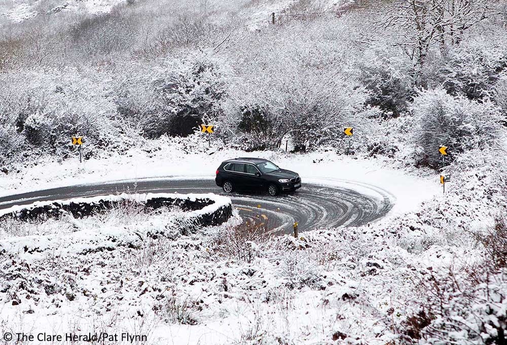
Comparisons to the Beast from the East of December 2010 and February 2018 are to be expected but this period of weather will most likely end up being less severe than those events.
Will it snow in my back garden?
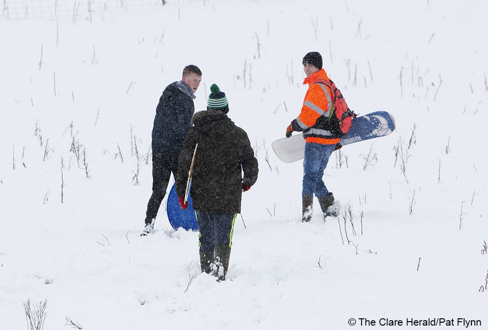
Forecasting snow totals at this range would be a fool’s errand but in a north-easterly to easterly setup east and north Ulster, Leinster, and east Munster would be favoured. Due to a strong easterly breeze some shower activity may result in snowfall further inland, including in Clare. Snowfall down to sea level is expected from Monday with a sleety mix likely at lower levels on Sunday.
Computer model output would give rise to streamer activity which that brought heavy snow to the eastern half of Ireland in particular, during 2010. Streamers are lines of showers that form over a body of water and align themselves with the wind-flow, bringing a constant “stream” of showers over a certain area. They are also known as Sea or Lake Effect showers, as they are a common wintertime occurrence near the Great Lakes region of the USA.
In Ireland they generally form over the Irish Sea and affect north and east-facing coastal regions of Leinster and eastern Ulster. Snowfall totals can vary greatly from one location to another even in a relatively small geographical area, as was witnessed in 2010 and again in 2018. Keep an eye on the Netweather radar over the coming days as this handy tool provides updates every 5 minutes and the option of observing weather type (rain, sleet, freezing rain, snow).
How long will the cold spell last?
Conditions will get progressively colder this weekend as the coldest air reaches the east coast later on Sunday bringing heavy and frequent snow showers from Monday. A transition to milder weather is currently earmarked for Thursday as an Atlantic system seeks to extend north-eastward across Ireland. The system will bring snowfall at its leading edge before turning to sleet.
Forecasting models had universally agreed on a much milder outcome for Ireland beyond Thursday up to last night but some of the main models (GEM and GFS) have hinted at the milder maritime airmass being less progressive. The reason for this is building high pressure over Scandinavia later this week which, on some models, could draw in a colder continental airmass over Ireland by next weekend again. It is one to watch. What is certain is that a 4-day period of deep cold is locked in for now. Weather enthusiasts can observe the model output on the Meteociel website.
In the meantime, Met Éireann are likely to introduce Orange Alerts for snow and ice in Leinster, Ulster and east Munster tonight or tomorrow with a Status Yellow Alert for Low Temperatures and Ice for the remainder of the country. This too is subject to upgrades as the situation evolves. Snowfall is notoriously difficult to predict for specific locations in the setup we are entering so keep an eye on that radar or your nearest street lamppost.