
Live Updates:


Thursday
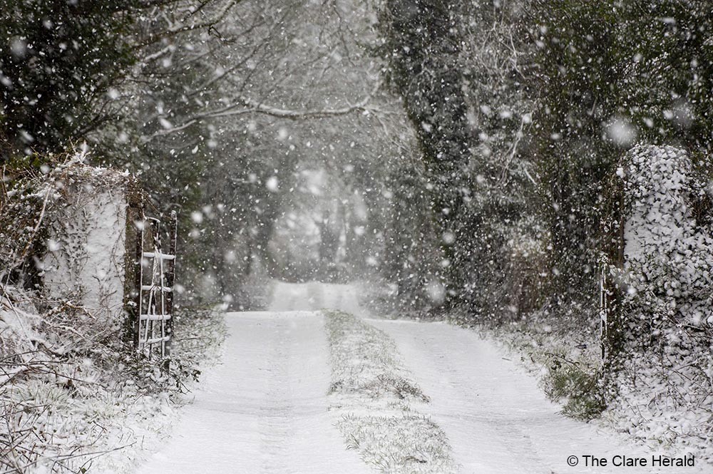
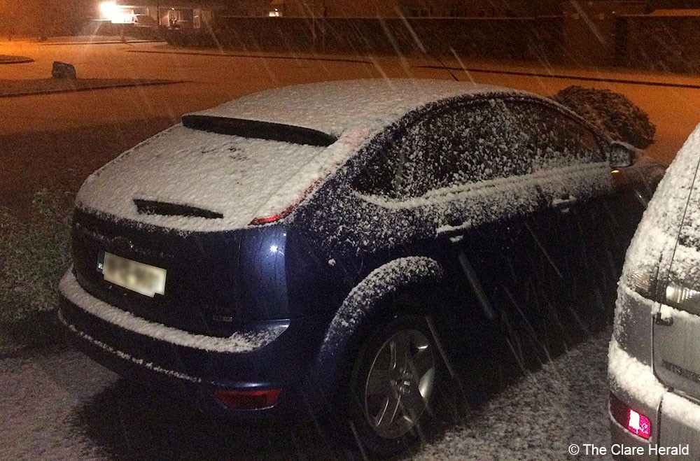
6.30pm – Roads in the Burren, particularly those less travel remain under snow. The road from Lemenagh Castle to Aillwee Cave is dangerous in places as is the Ballyvaughan to Lisdoovarna Road particularly at the Corkscrew Hill.
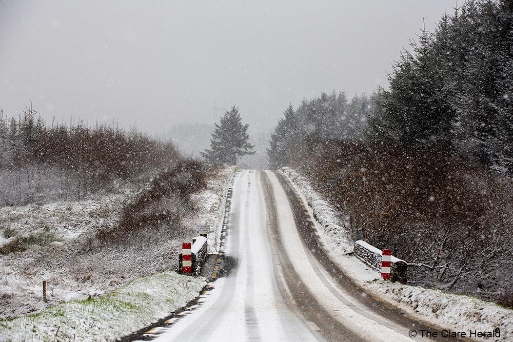
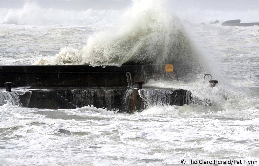
11.55am – Road conditions are dangerous between R474 Ennis and Miltown Malbay. High winds and blizzard conditions reported in the vicinity of Mount Callan particularly.
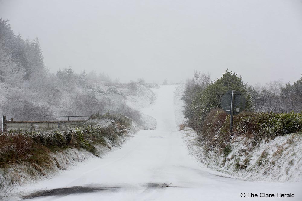
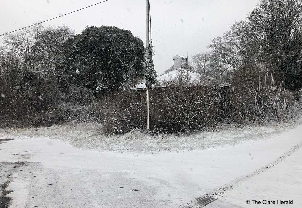
10.15am – Caution is urged as heavy snow sweeps across the county Clare. Motorists are advised to the slow down and avoid harsh manoeuvres.
Caution is advised following snowfall across #CLARE and #LIMERICK. Slow down and avoid harsh manoeuvres. More here: https://t.co/PSzIBsNprc
— AA Ireland (@aaroadwatch) February 11, 2021
Wednesday, 10th, 6.35pm – A Status Yellow wind warning has also been issued for Munster including Clare.
“Strong to gale force southeast winds in conjunction with rain, sleet and snow will lead to poor visibility and hazardous conditions,” according to Met Éireann
The warning is valid for the same timeframe as the snow/ice warning (8:00am Thursday 11/02/2021 to 8:00am Friday 12/02/2021)
Wednesday, 10th, 1.15pm – It is now likely that Clare will escape the worst of the expected poor weather and will not see any significant falls of snow.
The Status Yellow snow/ice warning, which will come into effect on Thursday morning, remains in place however.
The latest update from Met Éireann states that tonight rain, sleet and snow will move into the southwest towards morning. It will become breezy as fresh to strong and gusty southeasterly winds develop. Winds will be very strong near southwest coasts. Lowest temperatures of -3 to +1 degrees.
Looking ahead to tomorrow, sleet and snow will extend across Munster tomorrow morning, with snow accumulations leading to hazardous conditions. It will be windy and very cold with highest temperatures of 1 to 3 degrees, with an added wind chill factor due to fresh to strong and gusty southeasterly winds.
Met Éireann has issued a Status Yellow – Snow/Ice warning for most of the country including Clare.
The warning will come into effect at 8.00am on Thursday and remain in place for at least 24 hours.
The weather service is warning that a band of sleet and snow spreading northeastwards during Thursday giving snow accumulations of up to 5cm in some areas (higher over the mountains), but transitioning to rain in the west and south on Thursday night.
Clare County Council has confirmed that its Winter Service Plan is in place and preparations are made for possible sleet and snow.
“Motorists are advised to drive with extreme caution in the event of sleet/snow/ice, especially on untreated roads,” the council said.
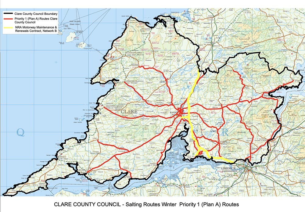
For all details on the routes that will be salted in Clare, click here.
Very cold tonight with a widespread frost, as long clear spells develop. Scattered wintry showers will persist overnight, mainly confined to Leinster & Ulster. Winds will be light to moderate northeasterly. Lows of -5C to 0C with icy stretches. https://t.co/9gKN6SVok4 #sneachta pic.twitter.com/PTrfAmLLdy
— Met Éireann (@MetEireann) February 9, 2021
Previous related coverage:
09/02/21 – Road Safety Alert ahead of Snow/Ice warning
09/02/21 – Conserve water and prepare for freezing water
06/02/21 – ‘Are we in for another Beast from the East’?
06/02/21 – Cold snap expected during the week