Sunday, December 5th – Met Éireann has issued a Status Orange wind warning for Clare, Cork, Kerry, Limerick, Galway for Tuesday.
Forecasters say: On Tuesday and Tuesday night, due to Storm Barra, southerly winds, later becoming to northwesterly, will reach mean speeds of 65 to 80 km/hr with severe or damaging gusts of up to 130 Km/ hr, possibly higher in coastal areas. Disruption to power and travel are likely.
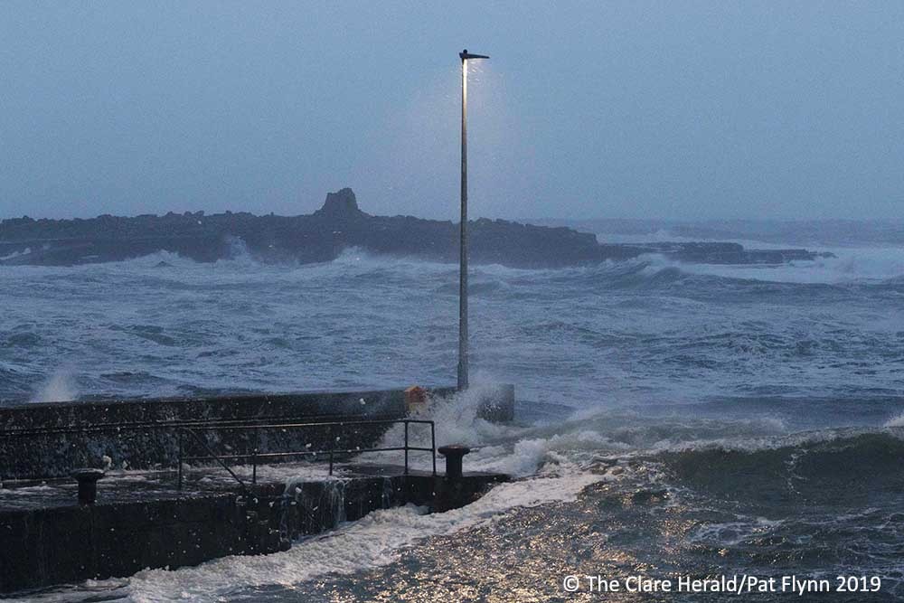
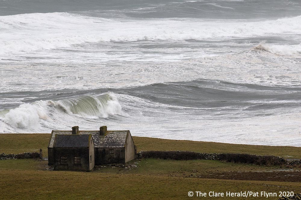
High waves, high tides, heavy rain and storm surge will lead to wave overtopping and a significant possibility of coastal flooding.”
The Status Orange warning will remain in place from 6.00am on Tuesday for a 24 hour period.
Further updates to follow…
#StormBarra will give severe winds , heavy rain, high Seas and some coastal flooding.🌊🌧️🌬️
For all latest warnings ➡️ https://t.co/SATrWv2EIb pic.twitter.com/fIbALzawPT— Met Éireann (@MetEireann) December 5, 2021
Met Éireann has issued Weather Advisory for the country including Clare as Storm Barra approaches from the west.
The weather service has advised that a “spell of wet and very windy weather is expected to impact Ireland on Tuesday 7th and Wednesday the 8th December, with potential impacts including travel disruption and coastal flooding.”
Met Éireann says there is also the potential for wintry precipitation on Tuesday night and Wednesday which may lead to further travel disruption.”
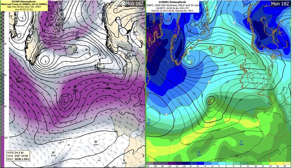
This storm depression will develop in the mid-Atlantic on Monday as a result of dynamic forcing from jet streaks in the upper atmosphere. This depression will rapidly deepen upon its approach to Ireland as it tracks northeastwards over the Atlantic.
The associated wind field will reach Ireland from Monday night. The cyclone’s centre will be around 950 to 960hPa deep as it approaches the west coast on Tuesday morning.
The exact track and timing of the cyclone is not definite at this stage as there have been small differences between successive model runs. Therefore, the location and timing of the strongest gusts is not certain yet, but Atlantic coastal counties will likely experience the strongest winds during Tuesday.
The depression will likely move slowly eastwards over or near Ireland overnight Tuesday and during Wednesday as it starts to fill and weaken. It will likely track eastwards away from Ireland overnight Wednesday pull in a cold polar airmass in its wake.
Met Éireann continues to monitor the situation and a further update to this advisory will be provided on Sunday 5th December.