Live Updates – Sunday, November 24th
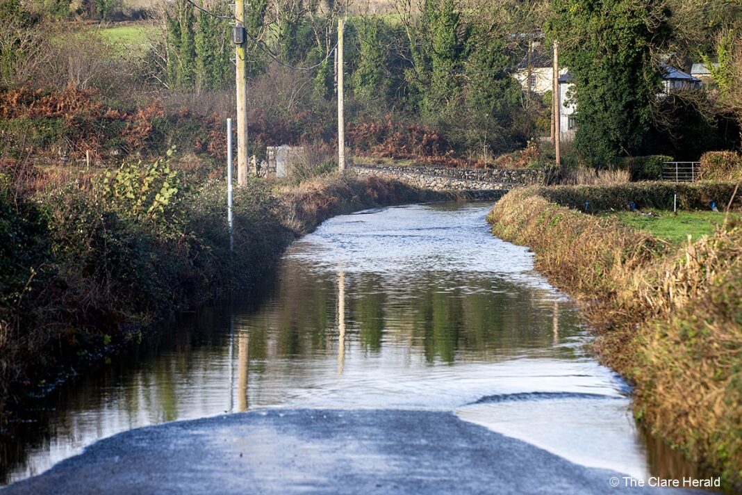
- The N85 Ennistymon to Inagh is closed as a result of flooding at Drumlesh (just north of Inagh)
- The R476 Kilfenora to Kilnaboy road is impassable at Leamaneh Castle
Live Updates – Saturday, November 23rd
2.30pm
Travel
- The N85 and R476 Ennis to Corofin Road are now passable to all vehicles but caution is still advisable as some flood water remains on these routes.
- A number of local roads in Kilnamona and surrounding areas are still maintaining high water levels but the situation has improved and will continue to do so over the next few hours.
- As we approach darkness motorists are advised to continue to exercise extreme caution. Though the situation will continue to improve an element of localised spot flooding will continue to persist in many areas.
- The N67 road is flooded on the Spanish Point side of Quilty village.
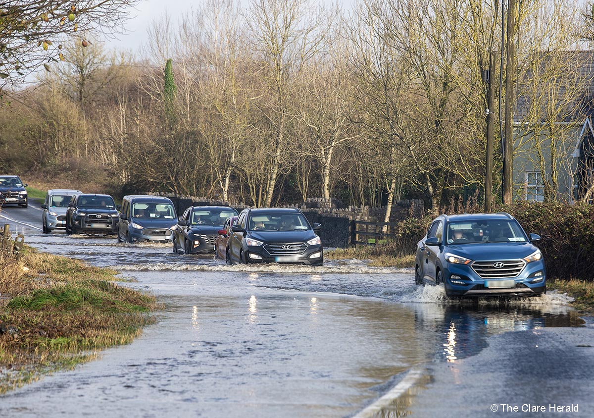
- R476 Corofin Rd is only passable by jeeps or larger vehicles.
- Road between Kilnamona and Mauricesmills is completely impassable.
- Several local roads in the Kilnamona/Inagh area are flooded.
- Floods are expected to recede and situation to improve in the afternoon.
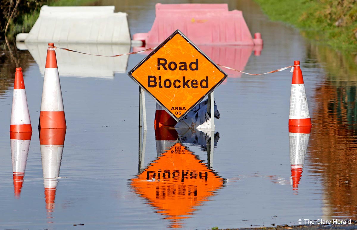
- The N67 north of Lisdoonvarna, between Toovareragh Church and Killeany junction is impassable due to flooding. The road is currently being closed.
- The Cranny to Coolmeen road is impassable at the bridge in Cranny
- Flooding reported on the N85 at Inagh
- Flooding also reported at Kilmacduane Cross, Cooraclare.
- Flooding at Toonagh on Ennis to Corofin road but the area is currently passable.
- Flooding reported on the N85 Ennis to Ennistymon road at Kilnamona. The road is impassable by car. Please exercise caution and take an alternative route.
- There are reports of serious flooding on the N68 Ennis to Kilrush road. The flooding is understood to be on the straight stretch between Caherea and Lissycasey and is said to be extremely dangerous.
7.16am
Electricity
- As of 11.35am, areas that had lost electricity have since had their power restored.
- An electricity fault in the Lisheen/Drumquin, that affected over 1,000 customers, has been resolved.
- There is a power outage reported in the Westbury/Gillogue areas of south east Clare. 1212 customers are affected. Power is expected to be restored by 8.15am according to ESB Powercheck.
- Clare appears to have escaped the worst of the overnight winds however an outage in the Tulla area of East Clare has left 1149 customers without power. Electricity is expected to be restored by 8.15am – Power has since been restored (7.15am)
7.01am
Travel – Motorists are urged to exercise caution this morning following heavy overnight rain across the county.
Storm Bert made landfall last night and brought torrential rain in many parts of the country. The Status Orange Rain Warning issued for Clare yesterday will end this morning at 10.00am.
It’s expected that surface water and flooding will continue to be a risk during the day on all roads across Clare. Drivers are urged to exercise caution
Friday, 1.10pm – Met Éireann has issued both Status Orange and Yellow weather warnings for Clare with a risk of a Red alert being confirmed later.
A Status Yellow Wind and Rain warning has been published for most of Ireland including Clare.
The weather service has said that Storm Bert will bring very strong southeast to south winds coupled with heavy rain.
The possible impacts of the weather include localised flooding; travel disruption and fallen trees
The warning will come into effect at 10.00pm (Friday) and remain in place until 10.00am on Saturday.
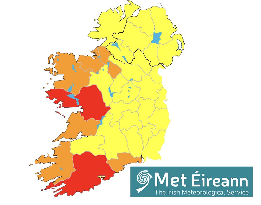
Meanwhile, a Status Orange – Rain warning has also been issued for Clare and a number of other counties.
Met Éireann is warning of intense falls of rain over a short period of time which could result in surface flooding; possible river flooding; very difficult travelling conditions and poor visibility.
That warning will be valid from midnight until 10.00pm on Saturday.
This Status Orange warning could be upgraded to Status Red which has already been issued for neighbouring county Galway as well as Cork.
The National Directorate for Fire & Emergency Management (NDFEM), Met Éireann and relevant agencies met this morning to discuss the weather warnings associated with Storm Bert, which will affect Ireland’s weather tonight and into the weekend.
Keith Leonard, National Director of the National Directorate for Fire and Emergency Management, emphasised: “It is quite clear that we will have challenging weather conditions at local level in many counties in the west and south west. Local Authority severe weather teams are activated and are preparing for the storm’s approach.
“For those in areas affected by red level rain and wind warnings, I would particularly stress that the safest advice for those affected is to shelter in place and do not travel during the duration of the warning. As weather events are changeable ones, members of the public should monitor Met Éireann’s ongoing advice and act accordingly. Essential Service Operators will link with Met Éireann aiming to continue operations subject to the prevailing local conditions. Even after the storm has passed, there is a strong possibility of road flooding or fallen trees so drivers are urged to take care in the aftermath of the storm.
“For all members of the public, whatever part of the country you are in, rain and winds will be a factor overnight and early tomorrow. I would urge you to stay away from coastal areas during this period and to heed the appeal from the Irish Coast Guard for people to ‘Stay Back, Stay High, Stay Dry’.
“Also, dangerous travelling conditions are possible and road users should pay particular attention to the risk posed by fallen trees. In addition to this, heavy persistent showers are expected, which in turn may lead to surface flooding in urban locations.”
Further public safety advice includes:
People are advised to prepare for the arrival of the storm including ensuring their mobile phone is fully charged to enable communication.
In the case of emergency call 999 or 112
Road conditions will be extremely hazardous across the country this weekend. Never drive through flooded roads, the depth of the water can be deceiving
Monitor Met Éireann forecasts and / or visit www.met.ie/ for the most up to date information. Information is available across social media platforms and other news media sources.
ESB Networks is highlighting the dangers posed by fallen live wires and is advising the public and the emergency services to stay away from these fallen cables and to report such cases to it immediately. ESB Emergency Services can be contacted at 1800 372 999. The public can monitor powercheck.ie regarding power restoration times.
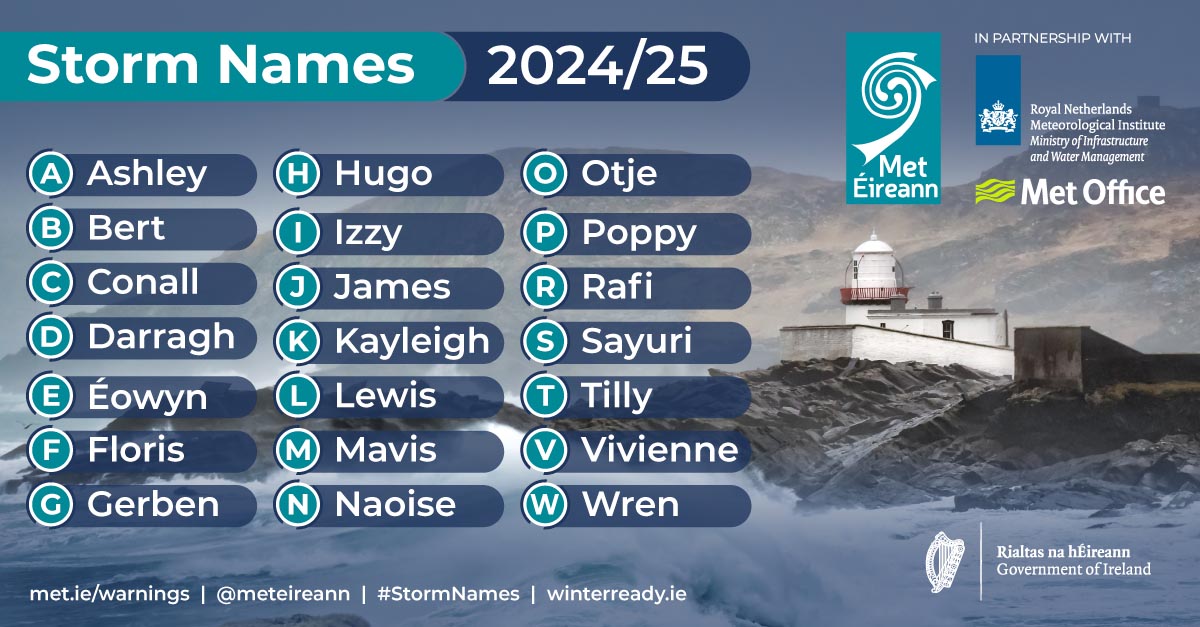
Thursday: Met Éireann has issued Status Yellow – Wind and Rain warning for Ireland as the second storm of the year is set to reach Ireland late on Friday night.
Forecasters say that Storm Bert will bring very strong southeast to south winds coupled with heavy rain.
Met Éireann has said: “Storm Bert will continue to dominate our weather through the weekend and into early next Very strong winds and heavy rain will track northeastwards over the country on Friday night and Saturday morning.
Storm Bert will continue to dominate our weather through the weekend and into early next week and further warnings will be issued for this event.”
The Status Yellow warning will come into effect at 10.00pm on Friday and remain in place until midnight on Saturday.
The possible impacts of the weather event include localised flooding; travel disruption and fallen trees.
