Live Updates:
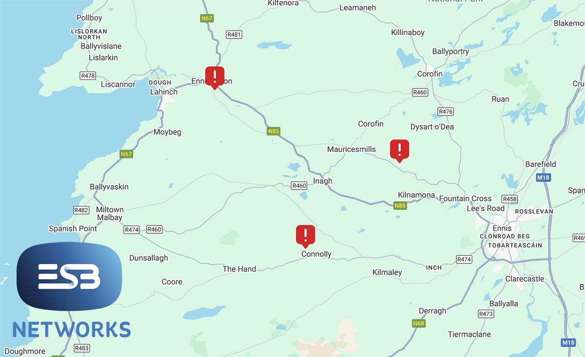
Monday, 9.01am – A further 29 customers have been affected in the Tullabrack area. ESB Networks says power should be restored before 11.00am.
220 homeowners in the Caher area of East Clare are also without electricity while 54 customers have also been affected in the Whitegate area.
Monday, 8.24am – Over 800 homes and businesses are without power in the Ennistymon this morning.
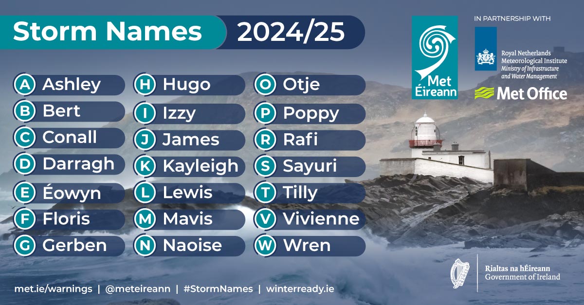
Very strong and blustery winds affected the country overnight as Storm Floris made landfall. Clare remains under a Status Yellow wind warning which will finish at 1.00pm.
Monday, 7.33am – A further 200 hundred customers have been left without power as Storm Floris passes Ireland. A total of 237 customers have been affected in the Maurices Mills/Ballyashea area while a further 17 are without power in Connolly.
ESB Networks are aware of the outages and power is expected to be restored in these areas before 9.00am.
Saturday, 9.25am – Met Éireann has issued a Status Yellow wind warning for a number of counties including Clare.
This follows a Weather Advisory issued yesterday head of the expected arrival of Storm Floris.
The weather service has now said we can expected “very strong and blustery southwest winds veering westerly, with some damaging gusts.”
The possible impacts include: Dangerous travelling conditions, Outdoor events may be impacted, Structural damage, Fallen trees, Debris and Loose Objects, Power outages and
Wave Overtopping.
The warning has been issued for Clare, Galway, Mayo, and Sligo.
Friday: Met Éireann has issued a Weather Advisory which is likely to be replaced by Weather Warnings this weekend.
The weather service has said that Storm Floris will bring wet and unseasonably windy weather during Sunday night and Bank Holiday Monday.
Some of the potential impacts of the storm are:
• Dangerous travelling conditions
• Knock on impacts for outdoor events
• Structural damage
• Fallen trees, debris and loose objects
• Power outages
• Wave overtopping
• Localised flooding due to leaves
The storm, which has currently not yet formed, is expected to develop through Friday from a frontal wave, currently lying to the south of Nova Scotia.
An unusually strong Jet for the time of year will carry the system towards Ireland through the weekend, with the storm deepening rapidly (approximately 20hPa in 24 hours between Sunday and Monday).
Storm Floris is currently expected to track to the northwest of Ireland through Sunday night and Monday morning, before tracking over Scotland before clearing into the North Sea later in the day.
Forecaster Andrew Doran-Sherlock said: “Storm Floris will bring a spell of wet and unseasonably windy weather, particularly for northwestern areas, through Sunday night and into Monday. However, there is still some uncertainty in the details so the full impacts of the system cannot yet be determined. By Saturday though, the event will be within the range of our high-resolution DINI forecasting model and warnings will be issued.”
However, as this is a Public Holiday Weekend with a large number of outdoor events and with many people going camping, etc, and with an increased usage of temporary structures such as tents, more people will be at a greater risk of exposure than would normally be the case. And while we are in a period of neap tides, with lowest tidal ranges of this cycle expected on Sunday and Monday, strong onshore winds and high waves may cause wave overtopping in low-lying coastal areas in the northwest and west.
Our advice would be to pay attention to the weather forecasts and warnings issued over the weekend and take them into consideration with any plans you have. And as always, please heed the advice of local authorities.”
Met Éireann has said warnings will be issued on Saturday with further updates.