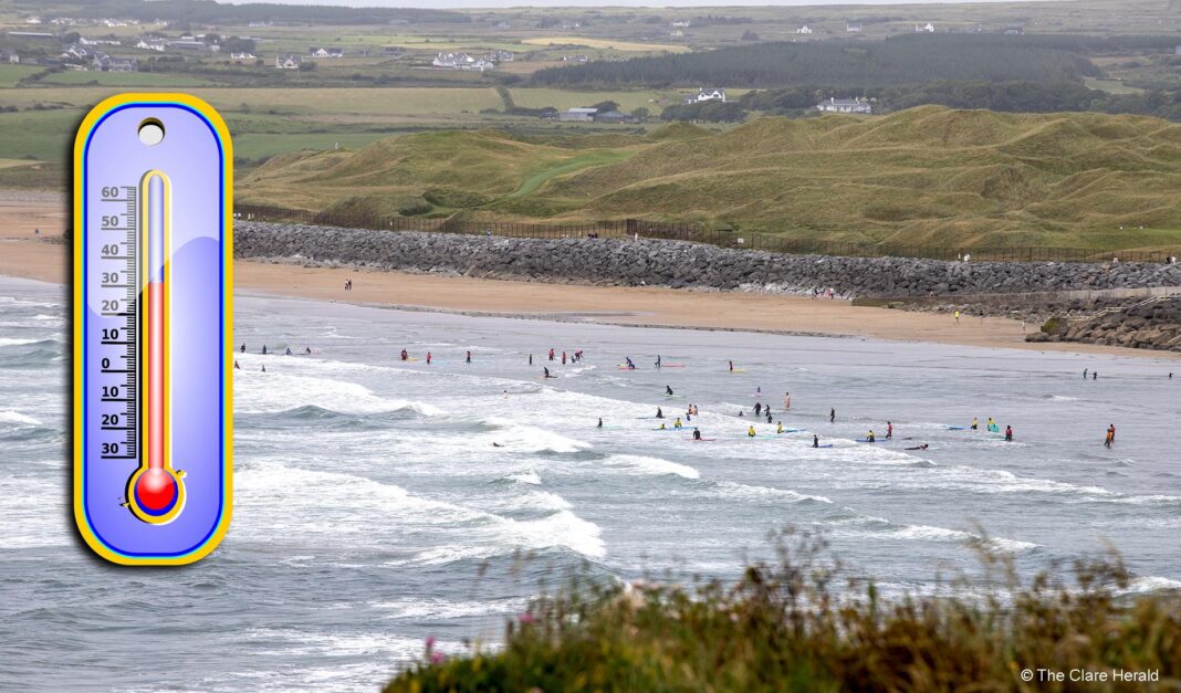
Met Éireann has today issued a Weather Advisory ahead of an expected “prolonged spell of very warm or hot weather.”
The hot spell will occur this week lasting into next week with heat wave conditions expected.
Daytime maxima will widely exceed 25 degrees Celsius with values climbing to the high 20s or even low 30s in places from Friday.
The UV Index is expected to be high to very high. Warm and humid nights will occur with minima of 15 degrees or higher. Possible tropical nights may occur in places this weekend. There is also the chance of some thunderstorms later this week.
Met Éireann is advising the public to check met.ie website and app for updates to forecasts and warnings, as well as www.watersafety.ie and www.gov.ie/en/department-of-agriculture-food-and-the-marine.
Potential impacts include:
• Water safety issues due to increased use of waterways, lakes and beaches
• Uncomfortable sleeping conditions
• Heat stress and dehydration, especially for the vulnerable and elderly
• Potential disruption to public transport
• Animal welfare issues
• Potential drought concerns
• Potential wildfires and forest fires